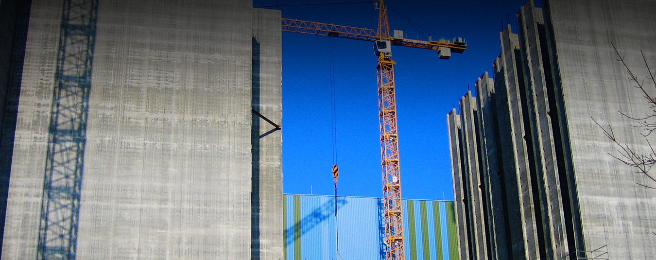
Design and construction surveying
Experience counts, especially in design and construction surveying.
Whether it’s questions of building law, the need for information in the planning phase, boundary disputes, all kinds of stakeout work or issues arising during construction: we have the expertise – you can rely on us!
Project-related position and height surveying
- Topographical site survey in any desired form
- Evaluation and visualisation of the situation in the planning area
- Incorporation of cadastral information and building regulations
- Visualisation of heights as point information, grid survey or contour lines
- Determination and visualisation of longitudinal and transverse profiles
- Expert site plan for the building application in accordance with LBOVVO (written and drawn part)
- Provision of all measurement data and results in analogue/digital form
Basic determination
- Survey of all relevant surveying documents
- Survey and examination of the building regulations
- Site inspection and investigation of the local conditions incl.
- photo documentation
- Advice on building law issues
- Provision of all planning-relevant data in analogue/digital form
Transferring the planning to the location
- Advice on planning/construction with regard to the required accuracy
- Creation and marking of a three-dimensional base network with the required accuracy
- Handover of position and height fixed points for the construction work
- Incorporation of the planning, taking into account all constraint points, creation of stakeout documents
- Transfer of the project geometry to the site
- Setting out and monitoring measurements during construction
- Deformation measurements
- Logging of all surveying work carried out
- Stakeout certificate to the responsible building authority